Graduation project
Dune Reclaimer
Analyzing environmental change through satellite imagery.
Technologies
Problem
Desertification monitoring involves understanding how landscapes change across both space and time.
Objective
Develop a deep learning pipeline to investigate desertification patterns using satellite imagery.
Approach
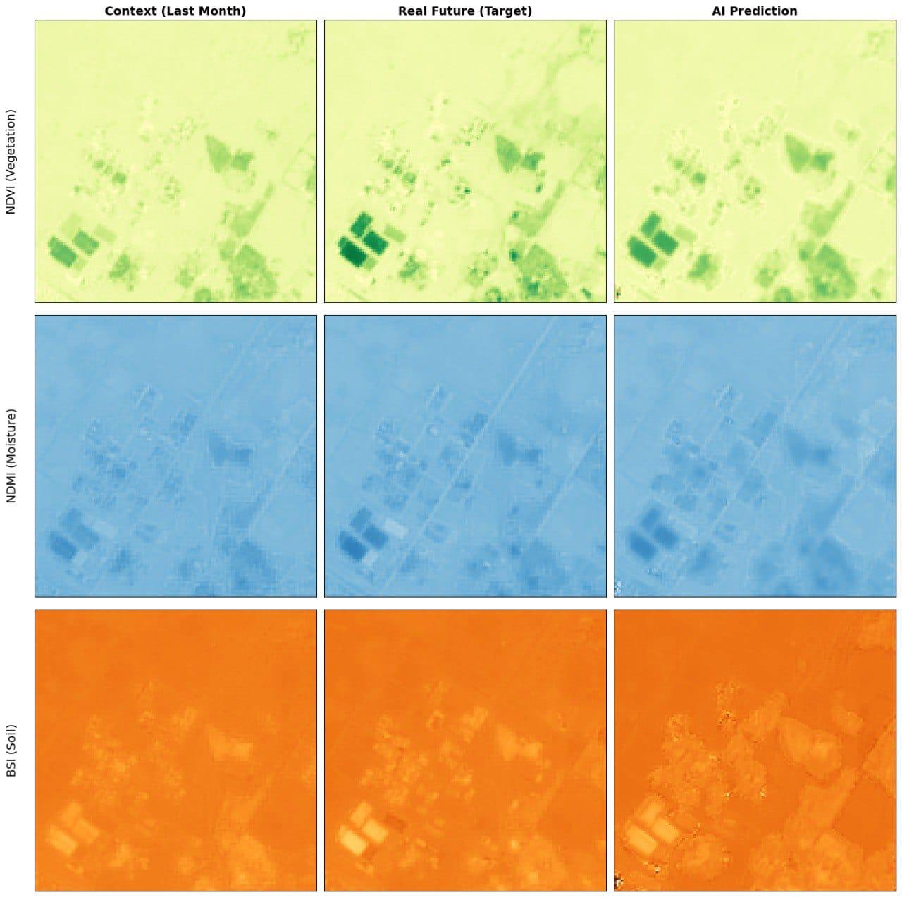
Prepare spatiotemporal datasets from Sentinel-2 imagery and use ConvLSTM to model environmental change.
Implementation
Processed satellite imagery, prepared temporal inputs, and developed a ConvLSTM-based pipeline for desertification prediction.
- Satellite imagery
- Temporal datasets
- ConvLSTM pipeline
- Environmental analysis
A conceptual diagram of the documented workflow.
Challenges to investigate
Temporal consistency and comparable imagery are important considerations when preparing satellite-image sequences. The CV does not describe how these issues were resolved.
The source does not document the project’s actual obstacles; the following is a technical consideration, not a retrospective claim.
Documented outcomes
The CV documents satellite-image processing and development of the deep learning pipeline. No verified accuracy, deployment, or field-impact figures were provided.
Technical reflection
Spatiotemporal models need data preparation that preserves both the spatial structure and the ordering of observations.
This reflection follows from the documented method; it is not presented as a measured project outcome.
Evidence note
Source: supplied CV. A project-specific public repository and verified evaluation artifacts were not accessible during preparation.